EXNOESIS ARCHIVE
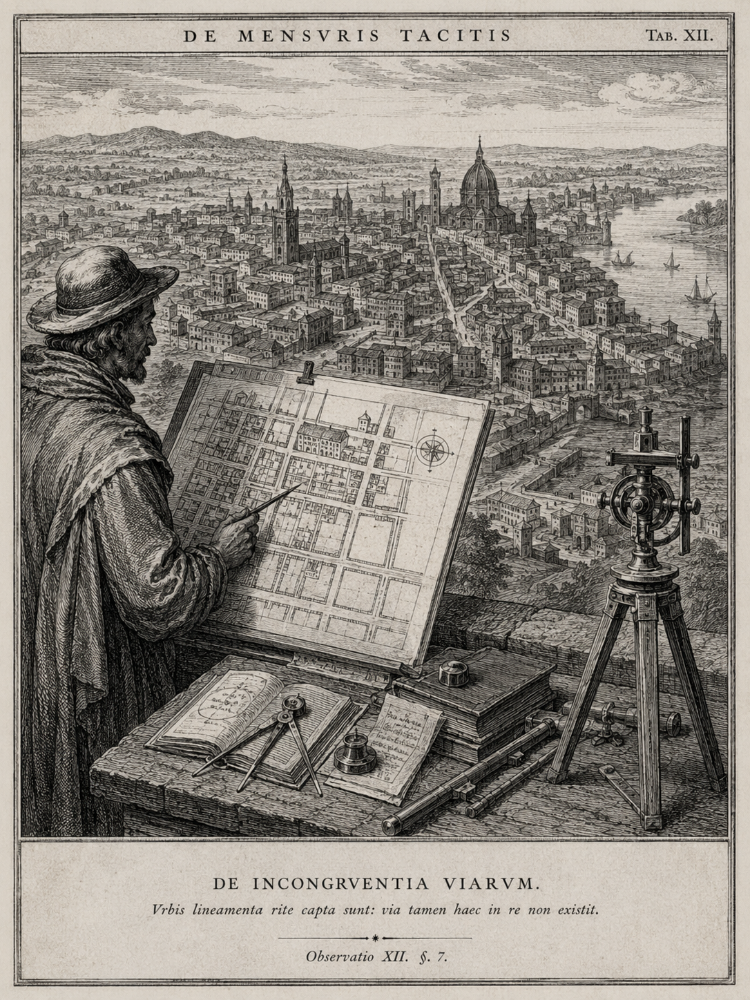
Plate XII: Eastern Survey of the Unfinished Quarter
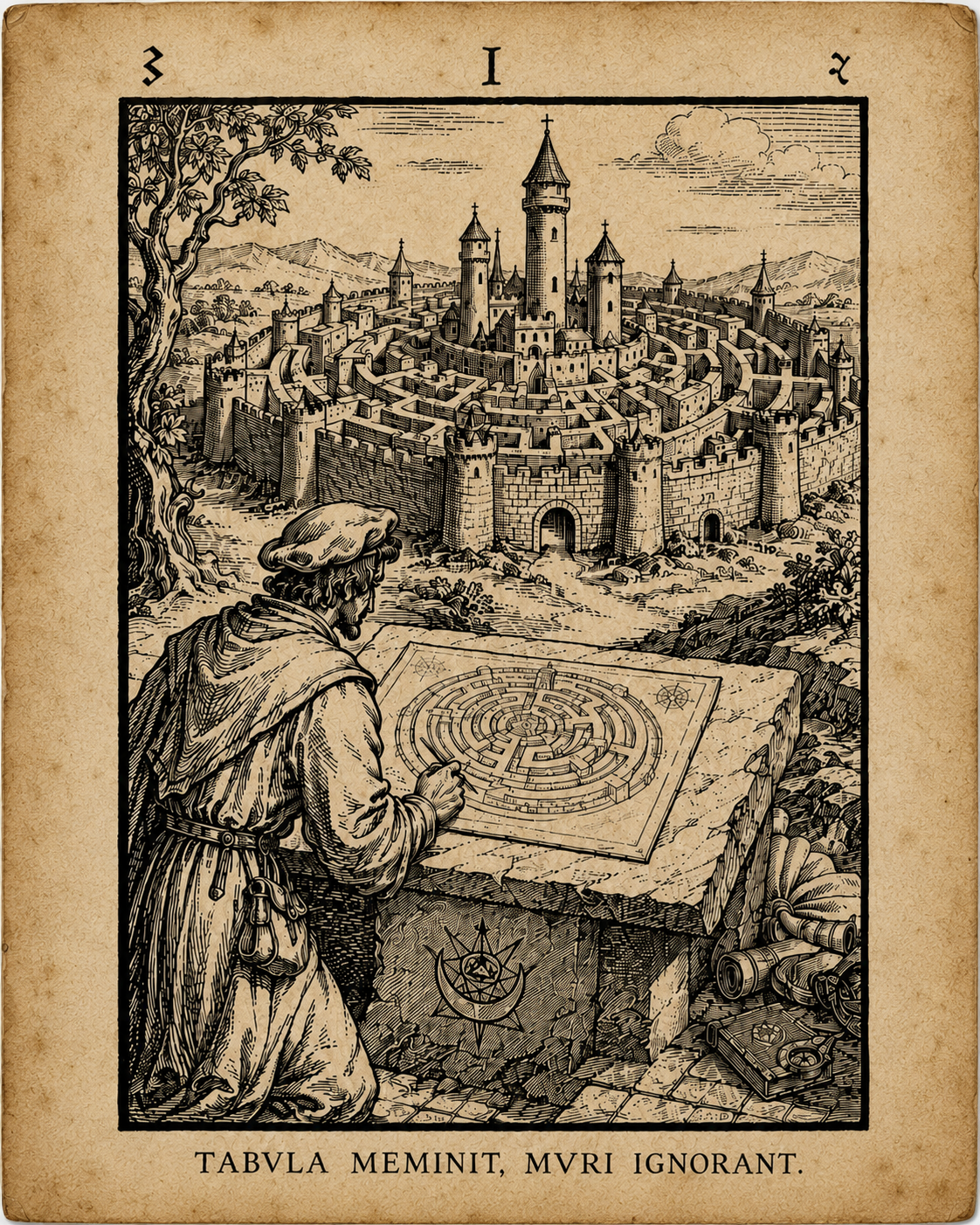
Image unavailable.
Description
Engraved plate depicting a surveyor comparing a measured plan with the eastern quarter of a fortified city. Five streets represented on the plan correspond to visible approaches, gates, or internal passages. A sixth measured road continues eastward through an opening in the outer wall, although no corresponding street is represented beyond it.
Numbered sight lines and scale marks indicate that the plate was intended to illustrate the reconciliation of direct observation with plan measurement. The accompanying figures are consistent with the scale used elsewhere in the image. The eastern line is neither isolated nor diagrammatically incomplete. It joins the remaining survey as an ordinary measured route.
The plate is numbered XII. No Plates I through VII have been identified with certainty, and the sequence represented by the surviving group remains incomplete.
Translated excerpt
The first measure belongs to the wall.
The second belongs to the road.
The third is confirmed by returning.
The fourth measurement should not be trusted, though it alone agrees with the city.
Catalog note
The relationship between the numbered plate and the surviving survey text has not been established. The phrase “returning” may describe a repeated traverse, a reverse sighting, or a procedure omitted from the surviving material. The present record does not assign a technical meaning beyond those supported possibilities.